 Web Content Viewer
RAS AL KHAIMAH IS THE FIRST CITY IN THE MIDDLE EAST TO IMPLEMENT ‘PARCEL FABRIC’ TECHNOLOGY FOR MANAGING SPATIAL DATA June 06,2023

Ras Al Khaimah, has become the first city in the Middle East to implement “Parcel Fabric” technology for managing spatial land data, based on a certificate granted by the Environmental Systems Research Institute (ESRI), the leading American company in developing geographic information systems software.
Ras Al Khaimah Municipality, in partnership with the Geographic Information Systems (GIS) Center, is using the Parcel Fabric technology to manage the spatial information of land plots through the rules and definitions it defines. This spatial data forms the basis of the systems that register land ownership and other real estate interests and is therefore key to the effective management of any city. The technology incorporates comprehensive automation processes to verify the accuracy of data when adopting or updated urban plans. The adoption of the technology, which is linked to the land registry, will help to preserve the rights of owners and property investors in the Emirate. The system contributes to improving the accuracy of records, increasing operations efficiency and reducing the time required for tasks such as modifying and updating land records.
Parcel Fabric allows cadastral data to be fit-for-purpose by storing the required metrics and metadata, such as method of capture, date, spatial accuracy and historical lineage for use and publishing as needed. In addition, the built-in data quality management mechanisms ensure the accuracy of other key elements, such as topology and plot attribution.
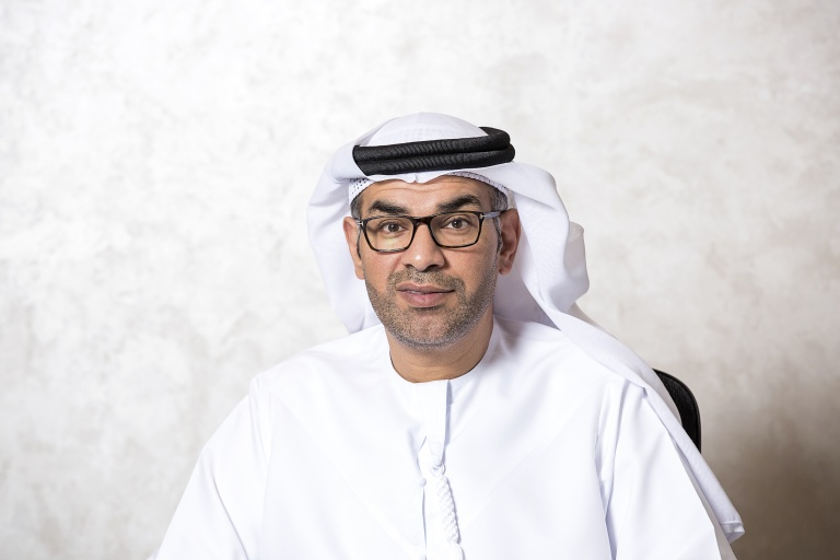
His Excellency Munther bin Shakar, Director-General of Ras Al Khaimah Municipality, highlighted that using this system improves the accuracy of records in the general plan of the Emirate, increases the efficiency of operations in land procedures and ensures the quality of outcomes. He stated that this is another example of the Municipality conducting studies and then adopting appropriate technology to manage the built environment, in accordance with international best practice. It will ensure that Ras Al Khaimah is well positioned as a city of the future; which is in keeping with the government’s vision.
Engineer Aisha Saif Al Shehhi, Director of the GIS Center, said that due to the upturn in the construction sector and to keep pace with accelerating urban development in Ras Al Khaimah, there was a need to develop specialized spatial systems for land management and land registration. This requires data governance and the adoption of technologies that leverage the latest advances to improve services provided to stakeholders and strengthen confidence in the Ras Al Khaimah real estate market. Through spatial data depositories, digital maps, data analytics and advanced tools, such as Parcel Fabric, these goals will be realized


